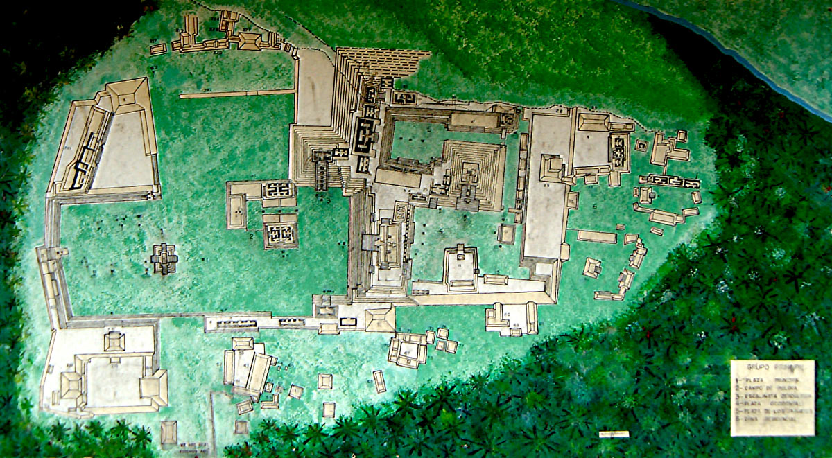
Map of Copan
This is the map that was located at the entrance to the site. In the top right corner you can see the Copan River flowing safely by. When excavations and reconstruction began in the 1930s, the river actually ran along the dirty mark which runs beside the acropolis, and the map demonstrates quite clearly how this set of buildings had been partially swept away.
© Robin Heyworth – Photo taken 9th February 2002