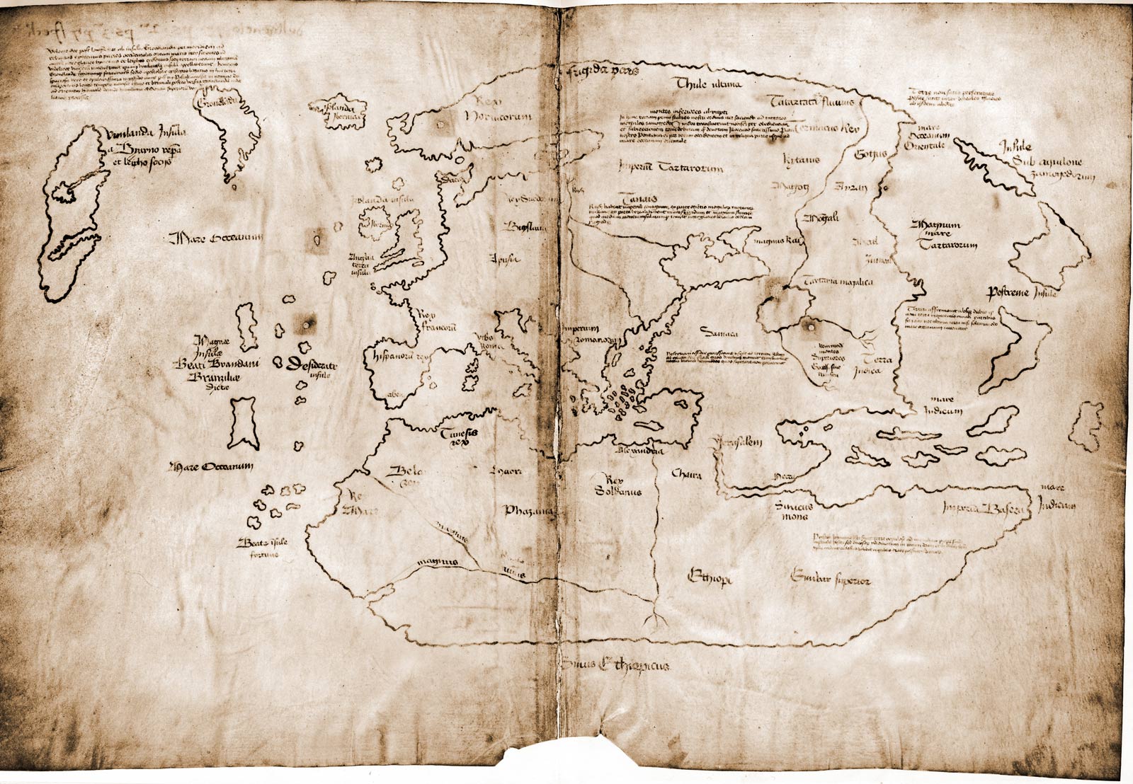
The Vinland Map
The Vinland Map was discovered in the early 20th century and appears to be created by the Vikings to details their early explorations to a new land, called Vinland, which appears to be Northern America. The parchment is certainly authentic to dates of the “Sagas” that discuss travelling to Vinland, however there are several features that have led scientists to suspect it may be a hoax.

