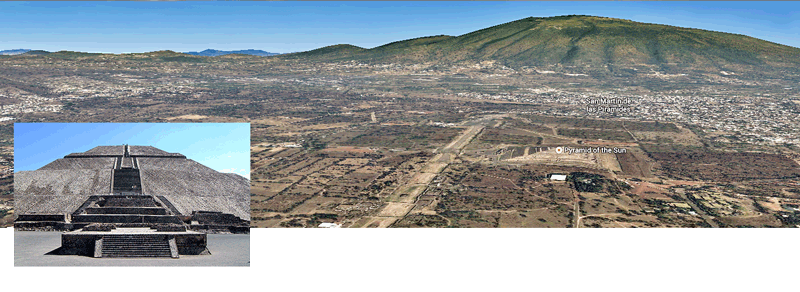
Fig WTS01 – A satellite image of Teotihuacan and the plains that surround it.
This satellite image taken from Google Earth shows how Teotihuacan site on a huge flat expansive plain that would be ideally suited to hand-drawn carts to help move the huge amounts of stones required to build the ceremonial plaza, which includes two of the largest pyramids in the world. One of these pyramids, the Pyramid of the Sun, is inset in the bottom left of the photo.

